INFORMATION
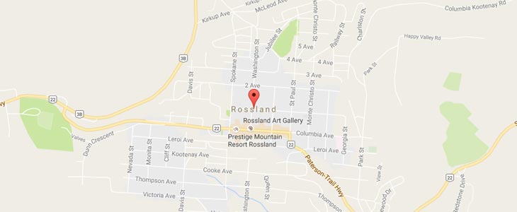
Rossland, British Columbia, Canada
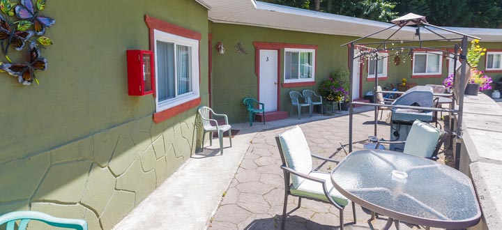
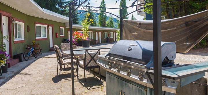
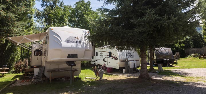
Rossland is your entrance to the Kootenay Gateway. Our location, simply put, is a mecca for outdoor enthusiasts and naturalists alike. With seemingly endless terrain and an urban”ish”-mountain culture, you will soon see why tourists turn into residents who then make Rossland their home-base for life.
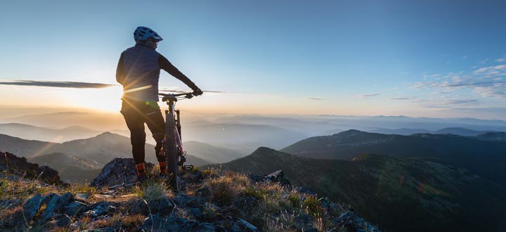
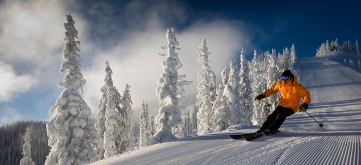
Rossland is the home of Red Mountain Resort and Big Red Cats, the world’s largest cat skiing operation. In summer, Rossland is known as the Mountain Bike Capital of Canada with over 200km of professionally maintained singletrack. Located on the Powder Highway, in the Kootenay Rockies, Rossland offers both summer and winter charm. An unpretentious community which still offers a unique and authentic experience to all of our visitors.
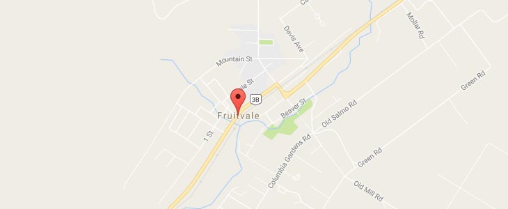
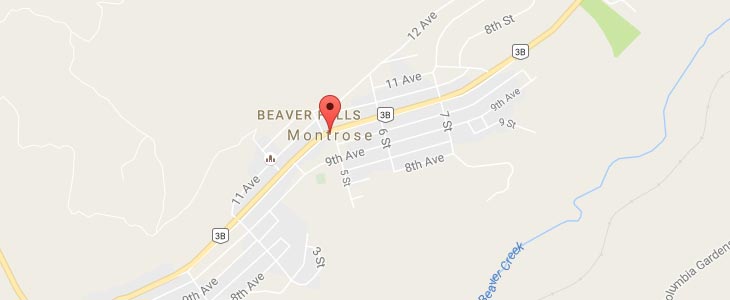
MAP
Rossland, British Columbia, Canada
Take a virtual tour through downtown Rossland, British Columbia using Google street view. Click the link below to begin: